

Lot n° 45
Estimation :
400 - 500
EUR
Result without fees
Result
: 300EUR
Set of 8 maps - Lot 45
Set of 8 maps
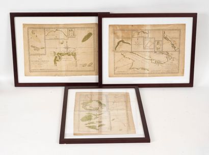
* Three map plates presumably from an atlas of new discoveries made during voyages of exploration in the late 18th century:
- nº 135. Voyage du Capitaine Carteret aux Iles de la Reine Charlotte.
By Monsieur Bonne, ingénieur géographe de la Marine.
- nº 136. Voyage du Capitaine Carteret aux Iles de la Nouvelle Bretagne.
By Monsieur Bonne, ingénieur géographe de la Marine.
- nº 139. 3º voyage du Capitaine Cook au havre de Saint Pierre et Saint Paul, Baie d'Awatska du Kamtschatka, sur une partie du Japon, plan du Typa ou de Macao et enfin, l'ile de Soufre.
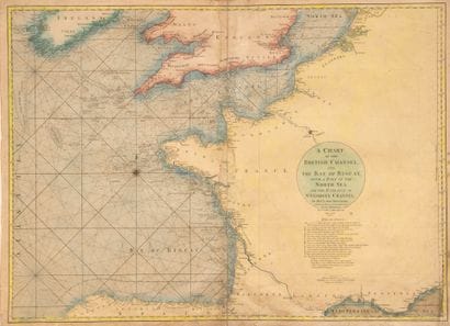
* one of the western coasts of France and parts of Spain, England and Ireland.
Prepared for Neptune Oriental by Monsieur l'abbé Dicquemare.
The date is earlier than the 1770 English version for which it served as a model.
49.5 x 66.7 cm.
* one similar to the one above, in collaboration with the English, enhanced. London, 1770.
52 x 71 cm.
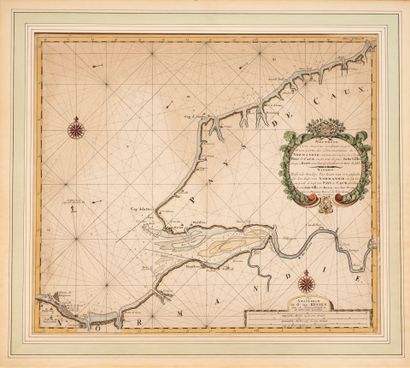
* a marine, increasing in degrees, of part of the Normandy sea coast, covering from Sotte Ville to Bérée, with details of the Seine estuary and its entrance.
Drawn by Gerhart Van Keulen in 1698.
53 x 60 cm.
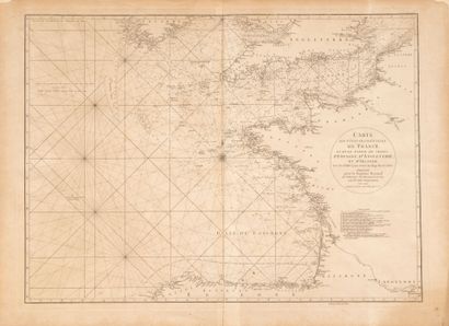
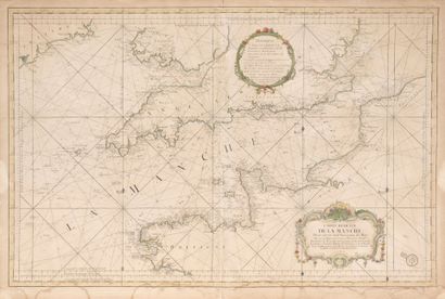
* a reduced view of the English Channel for use by the King's ships.
Drawn by S. Bellin, Marine engineer, in 1763, with the stamp of the Marine depot.
63 x 94 cm.
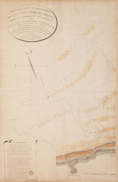
* A hydrographic survey of the North coast of France (Dunkirk roadstead and surrounding area).
Drawn by C.F. Beautemps-Beaupré for the Marine depot in September 1802.
93 x 61 cm.
= framed.
= some insolated, stained, a few accidents.
My orders
Sale information
Sales conditions
Return to catalogue